Automated Command System For The Special Operations Component. The Armament Inspectorate Analyses the Market.

More than 18 months after the command and control structures related to the Polish Special Forces were reformed, information was released, according to which the Armament Inspectorate is carrying out a market analysis, within the scope of analytic-conceptual phase of a programme covering an Integrated Automated Special Operations Command System (In Polish: Zintegrowany Zautomatyzowany System Dowodzenia Operacjami Specjalnymi; ZZSDOS). The system above is going to become probably the fourth automated command system for the Polish Army.
Market analysis is going to make it possible to acquire the knowledge which would enable the Inspectorate to create a relevant order related to the command system mentioned above. Within the scope of that order, it is planned to acquire software, the purpose of which would be to execute “IT based support for the commanding system and transfer of the information in real time, at any level of command in the Special Forces”.
However, the documents published so far do not specify whether this system would have to be coupled with any external command systems that are used in the Armed Forces and by other ministries. In order to illustrate the problem, we may recall the integrated system of supervision for the Polish sea territories, used by the Border Guard. The purpose of the system is to create an up-to-date, real time image of the maritime situation within the Polish territorial waters. The above data may be useful for the Formoza unit or for the naval component of the Grom unit.
Secure The Operations Of The Polish Special Forces
The Armament Inspectorate asked the companies which are prepared to execute the task above to submit their data and conceptual information regarding the said system, until 15th October 2015.
The concept submitted for the Armament Inspectorate shall include:
- list of functionalities provided by the software, at each level of Special Forces commanding process;
- proposals related to “protocols and scope of data exchange between the individual levels of command and the automated command systems constituting the systemic environment for the main system”;
- List of the communications and IT equipment required for the system to be operated;
- way of utilizing the UAV-provided information;
- way of integrating the FAS (Functional Area Services) used by the Army.
The Armament Inspectorate is additionally willing to obtain information related to costs of acquisition, operation and withdrawal of the system, as well as the information covering the issues of training activities, logistics and delivery schedule.
The Army stresses the fact that participation and information provided within the scope of the market analysis is not going to be a subject of remuneration. Moreover, the participants need to agree to transfer the information and data being protected by copyrights to the AI.
What capabilities should be offered by the new system?
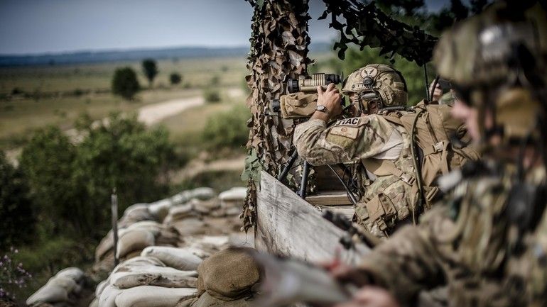
According to the requirements, the new command system should be capable of executing command and control activities, and it should provide the user with operational and tactical information at every level of the chain of command, including the Command of the Special Forces Component, at the command stations of the military units, within the combat teams and for the assault groups. Secondly, the system should also include specialized applications that would support e.g. the JTAC (Joint terminal attack controllers) operations.
The whole system is going to function on a stationary and mobile IT system, with additional use of tactical terminals operated by the combat teams and assault groups. Moreover, it has been assumed that the suite should be also capable of functioning in the systemic environment, consisting of the PASO, WIERZBA, BMS and TYTAN suites.
The software itself shall make it possible to visualize and use map data functions in the following standards: VPF, VMap, SHP (vector maps), CADRG (raster maps), DTED (terrain model), Geo TIFF (orthophoto maps) and aerial and satellite imagery transferred from the UAV’s (in the JPEG format).
When it comes to the functions which are to be realized by the software, one should include an option of creating (with the use of the system) and sharing the list of objectives with the certain units (including full description of the object, plan/way of impact and effectiveness of impact). The system should also be capable of carrying out internal communications with the operational environment, by using a chat service.

WIDEO: Defence24 Days 2025: Premier Defence & Security Conference in CEE